Neighborhoods — The flats
Shoreview & Fiesta Gardens
Reclaimed bay land east of 101, laid out in the 1950s and 60s, where a fair number of houses have a lagoon behind the fence.
On the map
On the slope
- Elevation
- 8 ft
- Band
- The flats
- Nearest platform
- Hayward Park
- Getting to it
- 2 miles over the Third Avenue bridge — a bike ride, a bus, or a long walk
- Street pattern
- Long, straight, and wide, some ending at water
- Fog
- No. Wind most afternoons.
- Tree canopy
- Low — young and middle-aged street trees, and a lot of open sky
- Noise
- Low. Wind is the dominant sound from early afternoon
Everything east of 101 here was under water or under marsh within living memory. It was filled and subdivided in the 1950s and 60s, and the developers gave the streets Spanish names — Fiesta Gardens is the tract where that theme runs hardest, with a lagoon threading through it and houses backing directly onto the water.
The houses are single-story, wide-fronted, and mostly original in outline even where they have been remodeled inside. Lots are large by Peninsula standards. It is one of the few parts of San Mateo where an ordinary house comes with something unusual attached — a dock, a paddleboard on the lawn, ducks.
What it's actually like
Flat and open, with more sky than anywhere else in the city. The wind arrives in the early afternoon most of the summer and stays until evening; sailors and kiteboarders at Coyote Point plan their lives around it and everyone else keeps a jacket in the car. Los Prados and the smaller neighborhood parks fill up on weekends, and the Bay Trail is close enough to be a habit.
Two things separate one block here from the next. Flood zone designation and insurance vary parcel by parcel and matter more than anywhere else in San Mateo, and the city has long-term levee and sea-level planning underway. Both are matters of record rather than rumour, and both are specific to a parcel rather than to the neighborhood.
Getting out
By car, the default and the design. 101 is the whole story, on at Hillsdale or 19th Avenue, and the crossings back over the freeway are the pinch points.
By bus, the SamTrans 250 runs through the neighborhood on roughly twenty-minute headways. That is frequent enough to use without planning your day around the timetable, and it is the simplest way over the freeway for anyone not driving.
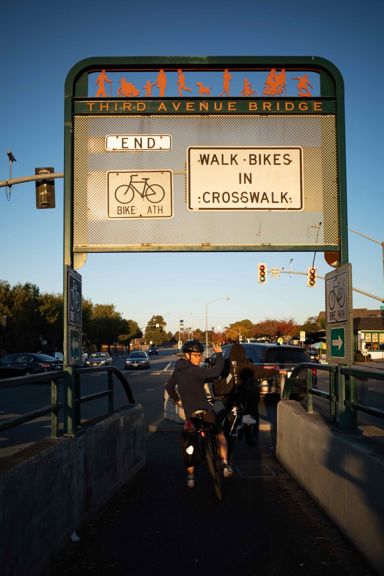
By bike, better than the distances suggest. The Bay Trail is close, flat, and car-free, and the Third Avenue bridge takes bikes and scooters — a bike over the freeway sometimes beats a car through the same crossing at rush hour.
By train, two miles to Hayward Park over the Third Avenue bridge. That is a bike ride or a bus for most people and a long walk for some, but the crossing itself is not the obstacle it looks like on a map.
On foot, further than the map suggests. The parks, the lagoon paths, and the Bay Trail are all close and genuinely good. Most errands are on the far side of 101, but the Third Avenue bridge has a walkway and crossing it is ordinary rather than heroic — a walk to the other side is a walk, not an expedition.