Neighborhoods — The slope
Baywood, San Mateo
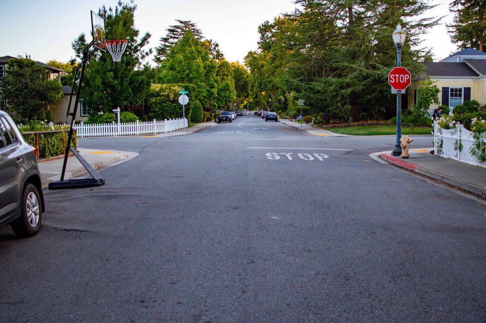
Large lots and pre-war houses on the upper slope, laid out around a country club when this part of the Peninsula was still weekend country.
On the map
On the slope
- Elevation
- 130 ft
- Band
- The slope
- Nearest platform
- San Mateo
- Getting to it
- 20–25 minutes down on foot, longer back; about seven by e-bike
- Street pattern
- Winding, shaded, no sidewalks in places
- Fog
- Lands on the top of it, thins by noon
- Tree canopy
- Mature oak and redwood, near-continuous
- Noise
- Low. Leaf blowers on weekday mornings; no through traffic
Baywood sits at the top of San Mateo's price range without quite topping it — San Mateo Park generally runs higher — and what the money buys is ground rather than building. Lots run seven and a half to ten thousand square feet under mature oak and redwood, and the houses on them are mostly pre-war.
It was platted early, when this part of the Peninsula was where San Francisco money kept a second house, and it held the shape of that history: streets that follow the contours instead of a grid, and stretches with no sidewalk at all, which dates the roads exactly.
Elementary attendance boundaries move prices here too, and they do not follow the streets you would expect — the line is worth checking against the district's own map before assuming an address falls inside it.
What it's actually like
Shaded and still. The canopy is near-continuous and does real work in September, when the flats are hot and Baywood is not. In winter the same canopy means moss on the north side of everything and a leaf-blower economy that starts early.
Walking is pleasant and slightly aimless. Everything is downhill from here and there is no commercial street inside the neighborhood, so most people drive.
Getting out
By train, the San Mateo platform is twenty to twenty-five minutes down on foot and noticeably longer back. Every daily-Caltrain household here is really solving the return leg, and the traditional answers are a bike left at the station, a spouse, or a short drive to the garage. The current answer is an e-bike, which does the trip in about seven minutes each way and makes the hundred-foot climb a non-event.
By bike, the same hundred feet cuts both ways under your own power: a fast, quiet run down to the corridor and a real climb home. Alameda de las Pulgas is a block or two east and is the pleasant north–south ride. The SamTrans racks on the El Camino routes will make the hill one-directional.
By car, Crystal Springs Road to 92 and then either freeway, or straight down to El Camino. Downtown parking garages are free for the first couple of hours, which is how Baywood residents "walk downtown."
On foot, downhill and only downhill. Downtown is genuinely reachable from the lower edge of the neighborhood — fifteen minutes to B Street — and the return is twenty-five with groceries and the hundred feet of climb. There is no commercial street inside Baywood, so every errand on foot is a departure rather than a walk around the block.