Neighborhoods — The corridor
Downtown San Mateo
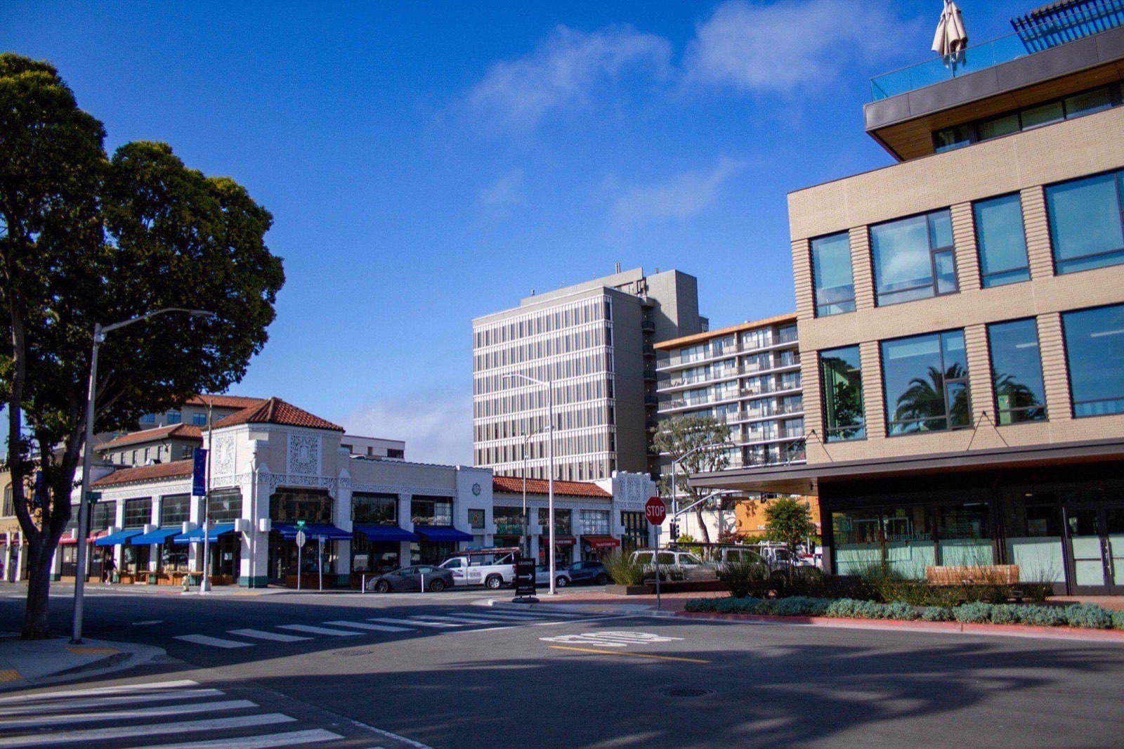
Four walkable blocks of restaurants and a train platform at the end of them, wrapped in newer apartment buildings and older cottages.
On the map
On the slope
- Elevation
- 28 ft
- Band
- The corridor
- Nearest platform
- San Mateo
- Getting to it
- Under 5 minutes
- Street pattern
- A true grid — lettered one way, numbered the other
- Fog
- Almost never
- Tree canopy
- Moderate — mature trees on the side streets, little over the core
- Noise
- Bar crowds on weekend nights, the train horn, quiet by eleven
Downtown is the default answer for anyone arriving without one. A car is optional here in a way it is nowhere else in the city: this is the only neighborhood with a train platform at the end of a walkable street. It is also the easiest place to change your mind, which is what a one-year lease is for.
The core is a grid of lettered streets crossing numbered avenues, with pedestrianized B Street through the middle of it: two blocks of restaurants, a movie theater, bars that stay open later than the suburbs around them, and a Saturday sidewalk crowd.
Central Park anchors the west end, with a Japanese Garden that opened in 1966 as a gift from the sister city of Toyonaka, plus a miniature train that has been carrying children in circles for generations. Draeger's on Fourth is the expensive grocery store people go to anyway.
Housing runs the full range: 1920s cottages on the side streets, mid-rise apartments from the last fifteen years along the arterials, and a few older buildings that have been through several lives.
What it's actually like
Loud in the good way on Friday nights and quiet by eleven. The train is audible — electric now, so a hum and a horn rather than a diesel roar, but a horn all the same. Parking is a garage, not a driveway, and the garages are free for the first hours.
The restaurant density is real and it turns over. Any list published today is wrong within a year; the street is the list.
It suits a yard, a garage, or silence badly. All three exist downtown, at downtown prices on a downtown lot, which is a bad trade — the same money buys all three uphill.
Getting out
On foot, everything. This is the one neighborhood in San Mateo where the list of things reachable on foot is not worth writing out, because it is the list of things. Groceries, the platform, dinner, a movie, the library, and Central Park are all inside a ten-minute walk of most addresses.
By train, San Mateo station, which most trains stop at. Northbound to San Francisco is about half an hour on a limited; southbound to Palo Alto is around twenty minutes. Electrification in 2024 sped things up and added service, and the timetable has been revised more than once since, which dates any number printed in a guide.
By bike, flat and short in every direction that matters. The corridor rides well north and south, and 3rd Avenue is the way east over 101.
By car, a garage rather than a driveway, and the garages are free for the first hours. 101 is close via 3rd or 4th; 92 is a few minutes south.