37.5630° N · 122.3255° W · San Mateo, California
San Mateo is four miles wide.
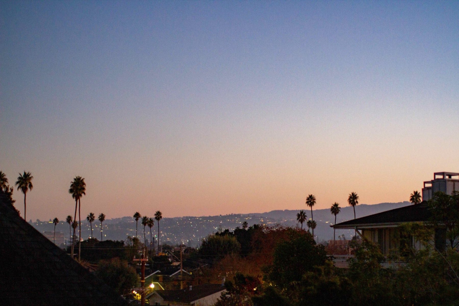
From the bayshore on its east to the reservoir on its western rim, San Mateo has 560 feet of climb. The fog rolls west to east every morning, thinning as it goes. Head the same direction on the ground and the lots get smaller, the streets get straighter, and the train stations get closer.
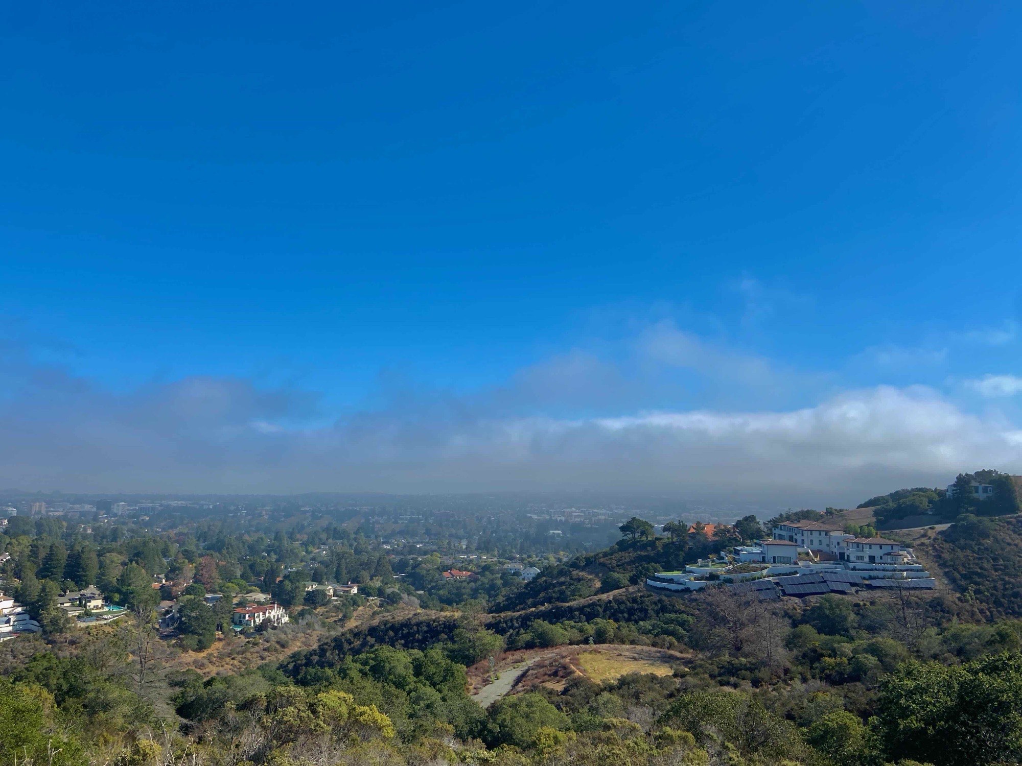
Section · hills to Bay
The map
11 neighborhoods, 3 Caltrain platforms. Click on the map for its elevation, nearest station, and a dedicated neighborhood webpage.
Everything runs parallel to the Bay: Highway 280 in the hills, El Camino Real and the train tracks in the middle, Highway 101 on the flats. Highway 92 is the one diagonal, running from Half Moon Bay on the coast, through the gap in the hills, and across the 7-mile San Mateo-Hayward Bridge.
Where people live
11 neighborhoods, sorted by descending elevation
Watershed
290–560 ft
Public land and the drinking water for the entire peninsula.
- No residents, it's the city's water supply and restrictive nature access.
The hills
180–460 ft
Curved streets, oaks, deer, first place the fog lands.
The slope
60–180 ft
Big lots and old trees between the ridge road and the rail line.
The corridor
20–60 ft
El Camino, the Caltrain platforms, the most walkable ground in the city.
The flats
6–20 ft
Postwar grid, newer blocks, the widest streets in the city.
The shoreline
0–6 ft
Levees, lagoons, salt marsh, wind that shows up at two o'clock.
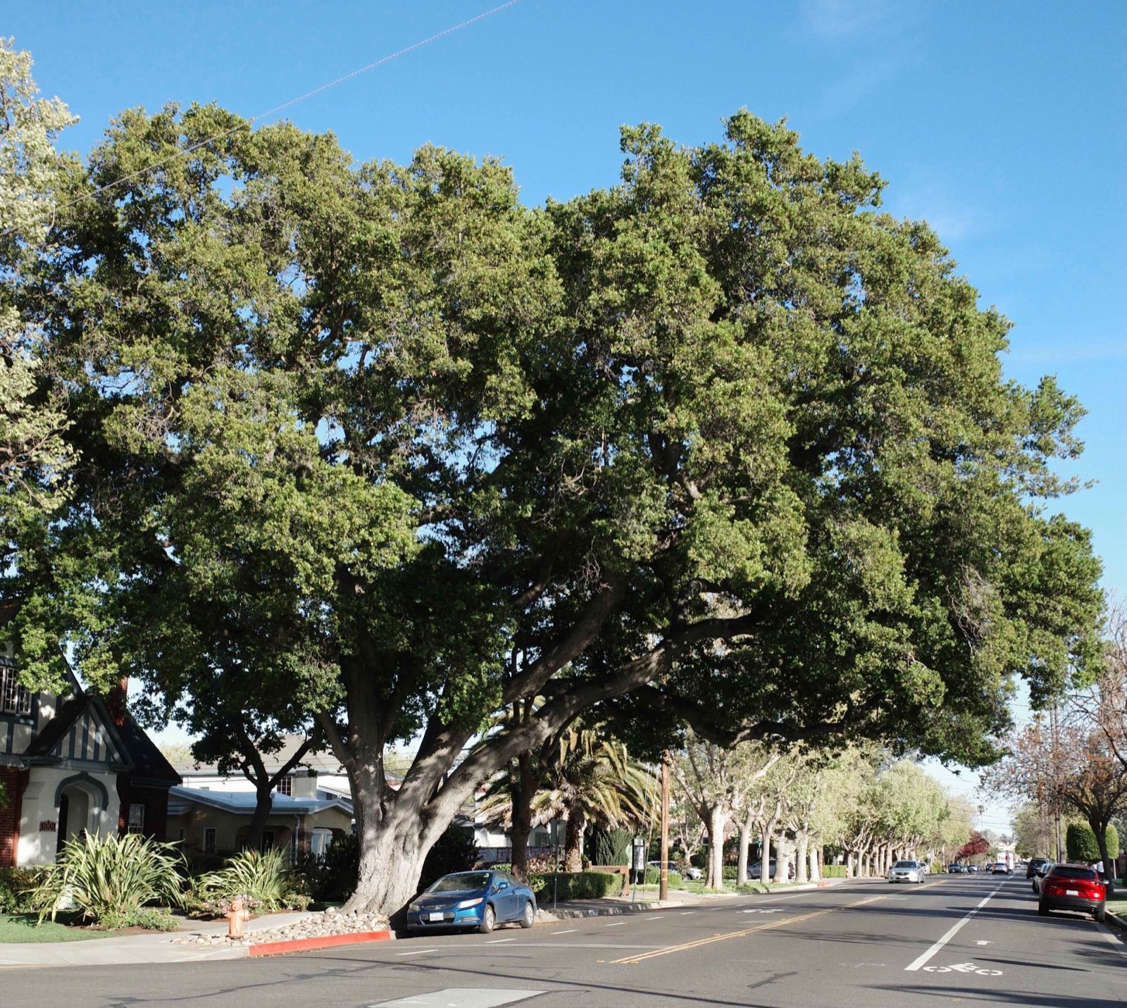
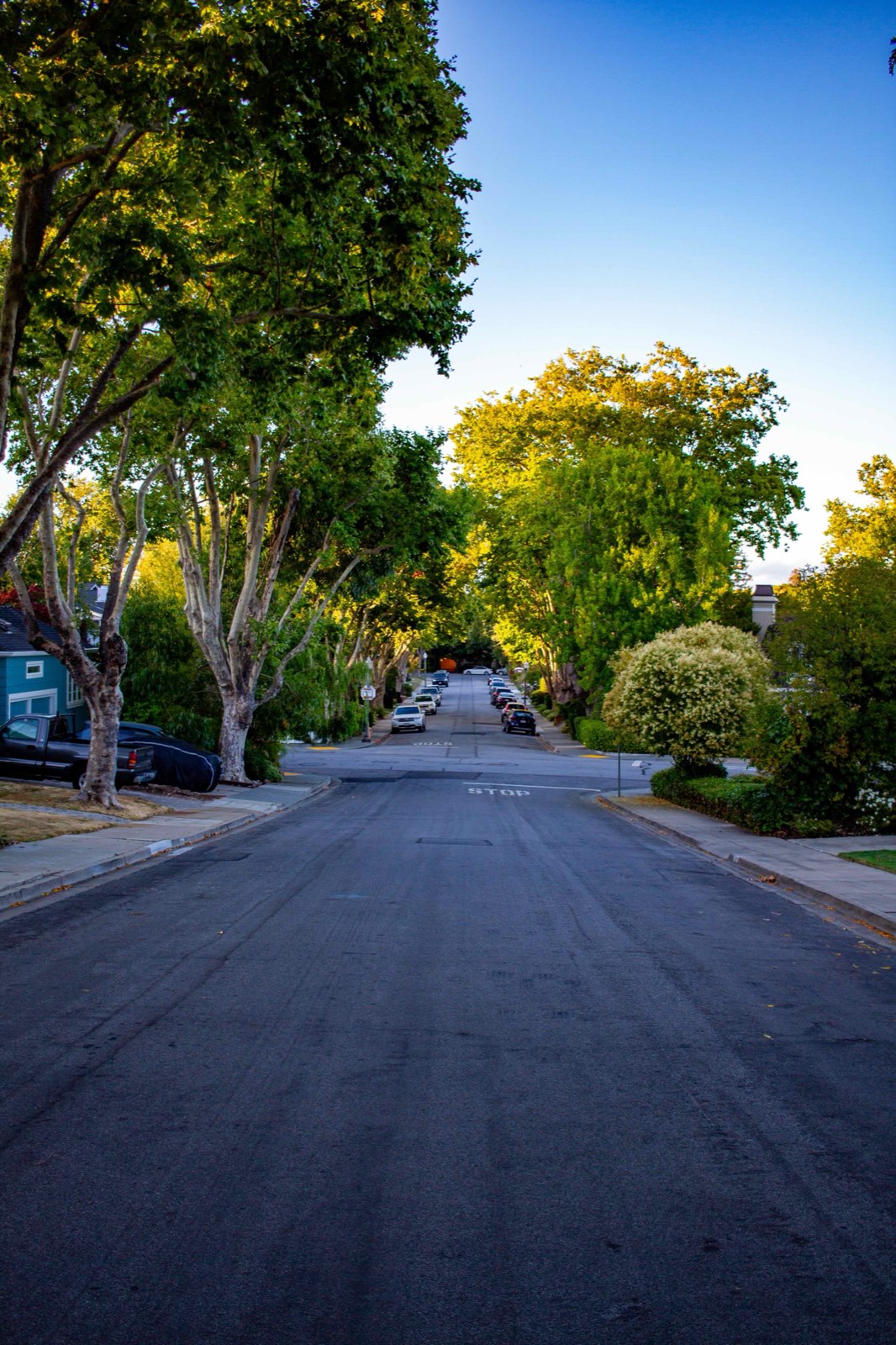
The flats The hills
Same city, three miles and three hundred feet apart. Down there the streets run straight and the trees do the shading; up here the road bends and the canopy closes over it.
How the place works
8 guides to the first year
Which train stops where. Why one street is sunny and the next isn't. Where the Saturday morning crowd goes. Each one leads with the decision, not the history.
-
Transit
Getting around
Three train platforms, a bus corridor, a shoreline bike route, and why an e-bike turns four miles wide into a fifteen-minute city.
-
Safety
Streets and safety
Which roads are hostile, where the freeway can be crossed, and what the city has and hasn't actually committed to.
-
Weather
The fog line
Why one street is sunny and the next over isn't, explained by a gap in the hills.
-
Parks
Outdoors
A watershed on one side, a bay on the other, a hill in the middle climbable before dinner.
-
Food
Eating and drinking
Where to look rather than where to go. Restaurant lists rot; streets don't.
-
Errands
Settling in
Utilities, libraries, permits, schools, and the recycling rules nobody explains.
-
Civic
Showing up
Who decides things here, when they meet, how long you get to talk, and the groups that already exist.
-
Calendar
The year
What the city does, month by month, from the green hills of February to the warm nights of October.
Field notes