Neighborhoods — The shoreline
Coyote Point & North Shoreview
Where the city runs out. A eucalyptus headland, a small museum, a marina, and the neighborhood behind them.
On the map
On the slope
- Elevation
- 5 ft
- Band
- The shoreline
- Nearest platform
- San Mateo
- Getting to it
- 2 miles and a freeway — under ten minutes on an e-bike
- Street pattern
- Grid, then marsh
- Fog
- No. Wind daily from early afternoon.
- Tree canopy
- Low — eucalyptus on the point, little over the grid behind it
- Noise
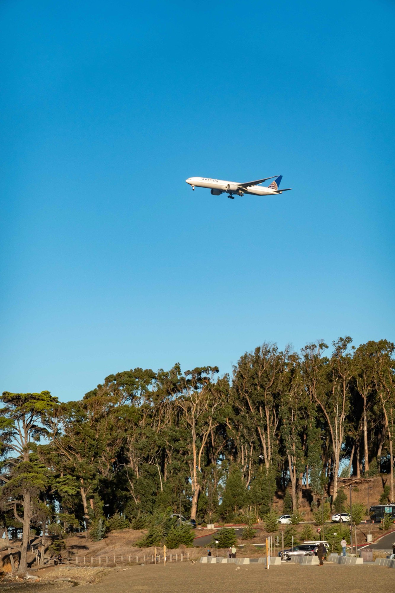
- Aircraft. SFO approach paths overhead, and the runway in use decides what an address hears
Coyote Point is the wooded headland that sticks out into the Bay at the north end of the city, and it holds more public uses than its size suggests. There is a beach, a marina, a eucalyptus grove with picnic sites, a playground that people drive across the county for, and CuriOdyssey — a small natural science museum and wildlife center that keeps rescued native animals that can't be released.
It is one of the best windsurfing and kiteboarding spots on the Bay, because the afternoon wind is a near-certainty from spring through September. At the point at three o'clock in July, the whole neighborhood's relationship with jackets makes sense.
Behind the park, North Shoreview is a modest grid of postwar houses and apartments — one of the more affordable corners of the city, with the Bay Trail at the end of the block and the airport's flight path overhead. It is a separate place from Shoreview & Fiesta Gardens, the larger neighborhood south of here.
What it's actually like
Windy, bright, salty, and loud in a specific way: SFO is close enough north that aircraft noise is constant. Which runway configuration is in use decides what a given address hears, and it changes through the day.
The shoreline is the compensation. Ryder Park and Seal Point are a short ride down the trail, and the Bay Trail runs unbroken for miles in both directions.
Getting out
By bike, the underrated answer here and the reason some households manage with one car. The Bay Trail runs north toward Burlingame and south toward Foster City with almost no cross traffic, and it is flat the entire way. Peninsula Avenue and 19th Avenue are the ways back over 101.
By car, the same two crossings, and 101 north to the airport in a few minutes.
By train, two miles and a crossing. That is a long walk and an unremarkable ride: under ten minutes on an e-bike or a scooter, including the climb over 101, which is the only elevation on the whole trip.
On foot, the park and the shoreline, which is a lot. The grid behind it has a corner store's worth of daily needs and not much more; anything larger is across the freeway.