Neighborhoods — The hills
Laurelwood & Sugarloaf
A hillside neighborhood organized around a park, a public college, and the bare grass hump that half the city uses as its stairmaster.
On the map
On the slope
- Elevation
- 330 ft
- Band
- The hills
- Nearest platform
- Hillsdale
- Getting to it
- 25–30 minutes on foot, downhill going and uphill back; about eight by e-bike
- Street pattern
- Cul-de-sacs off a spine road, all of them climbing
- Fog
- In it more than not
- Tree canopy
- Dense in the canyon, thin on the open slope — Sugarloaf itself is bare
- Noise
- Low. A distant 101 hum on some blocks; frogs in the creek after rain
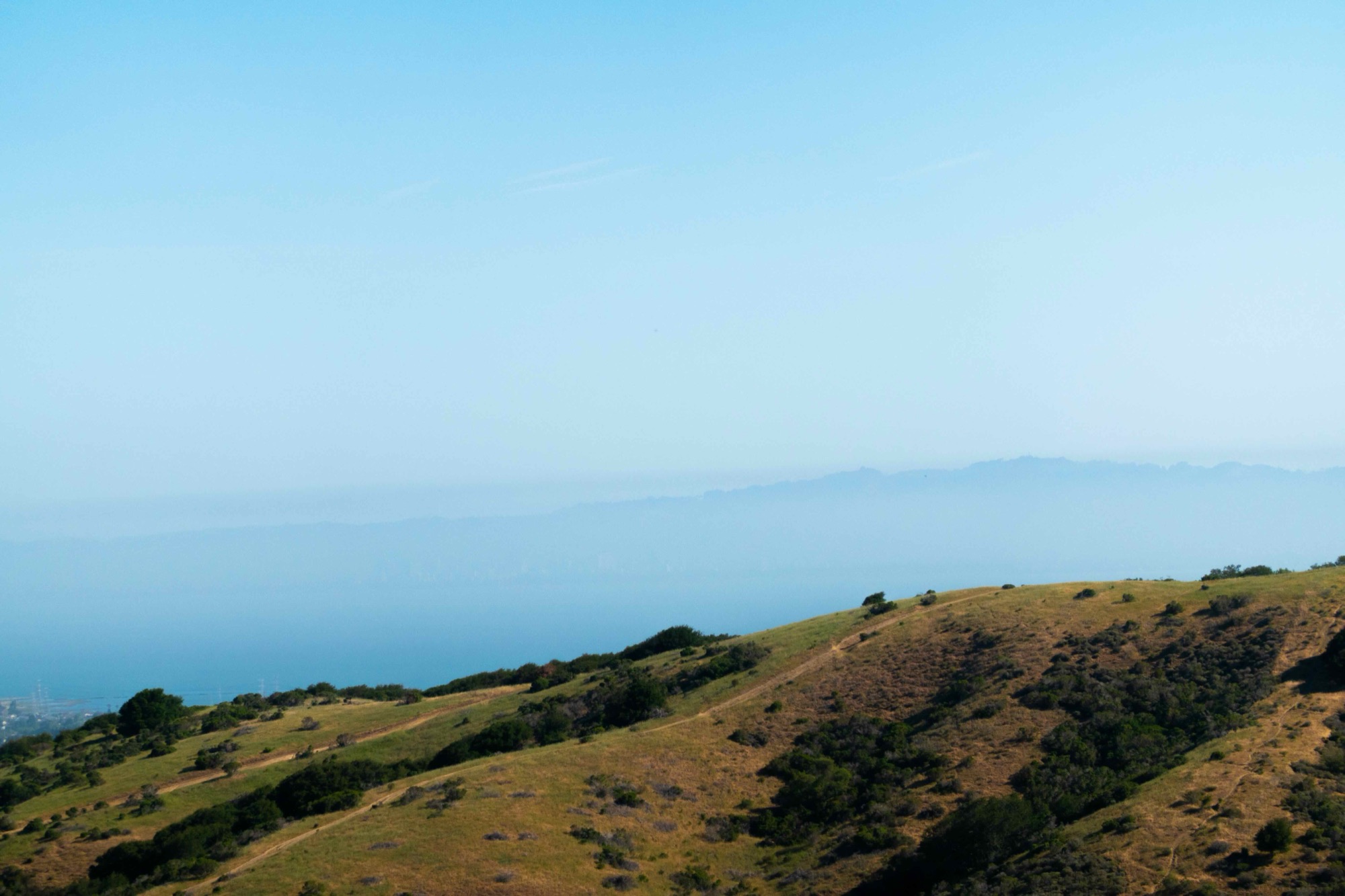
Sugarloaf is the round, treeless hill visible from most of the flats, gold from May until the first rain. Laurelwood Park runs up the canyon beside it, and the trail out of the park to the summit is the closest thing San Mateo has to a civic ritual: short, steep, and on a clear evening a view from the Dumbarton Bridge to the city.
The houses below it are mostly 1950s and 60s, on generous lots, backing onto the creek in places. Above them is College of San Mateo, which sits on a shelf with a view of the whole Bay and hosts a large farmers market in its parking lot on Saturday mornings. The hours have moved before.
What it's actually like
Green in winter, gold in summer, with the creek running through the park and loud with frogs after rain. Coyotes are a fact of life, and cats stay indoors. There is more wildlife here than people expect this close to 101, because the hill connects to the open space behind it.
Traffic is the tradeoff. There are only a few ways down and they all feed the same intersections at 31st and Hillsdale. Leaving between 8 and 9 costs fifteen minutes that leaving at ten does not. There is no commercial street inside the neighborhood, so dinner is a drive.
Getting out
By car, down 31st to 101, or over to 280 by way of Polhemus.
By train, Hillsdale is twenty-five to thirty minutes down on foot and meaningfully longer back up. With a motor under you it is about eight minutes in either direction, which is the difference between a station you use on purpose and one you use when someone can collect you.
By bike, close enough to ride to the station and, under your own power, far enough that most people don't — a statement about the climb home rather than the distance. The SamTrans racks on the hill routes are the older way to make the trip one-directional, and they still work if the ride home is not the part you want.
On foot, the trailhead rather than the errand. The park, the creek, and the summit are all out the front door, and there is no commercial street inside the neighborhood at all. A walk here goes up.